Thousands evacuated as ‘super typhoon’ approaches Taiwan
It is also expected to pass through the capital city of Taipei, either on late Monday or early Tuesday.
Some of the forecasts suggest typhoon Dujuan will intensify on approach to Taiwan, perhaps reaching super typhoon status with sustained winds of 150mph or greater.
Before hitting Taiwan the typhoon may touch some of Japan’s sparsely-populated Yaeyama islands.
In northern Taiwan, wind gusts of 130 to 160 kph (80 to 100 mph) could batter Taipei causing some structural damage and significant power outages.
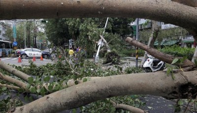
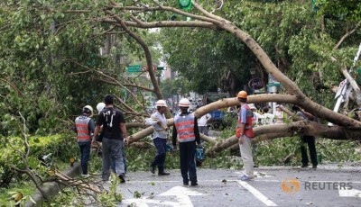
Last month Typhoon Soudelor ripped through the same region, leaving a trail of destruction in its wake.
However, Douty warned “Dujuan would still be a typhoon capable of bringing flooding rain and damaging winds”. Such typhoons, which are distinguished from storms that have smaller eyes and a more narrow “eye wall” of storms surrounding the storm’s center, are known as annular tropical cyclones.
When asked about where the typhoon might make landfall, Lo said that typhoons tend to vacillate as they approach coastal areas, adding that landfall could occur as far south as Hualien.
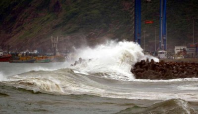
Fishing boats in Wenling City, east China’s Zhejiang Province, return to the port after the alarm of super typhoon was issued by the State Flood Control and Drought Relief Headquarters on Sunday, September 27, 2015.
The Central Weather Bureau in Taiwan says there is an 85 to 90% chance that areas in northern Taiwan, including Taipei, Keelung and Yilah will see sustained winds stronger than about 40 miles per hour.
Residents in Eastern Taiwan’s Hualien, Northeastern Taiwan’s Yilan and Northern Taiwan’s New Taipei are warned to brace for strong winds and heavy rain, the bureau said.
