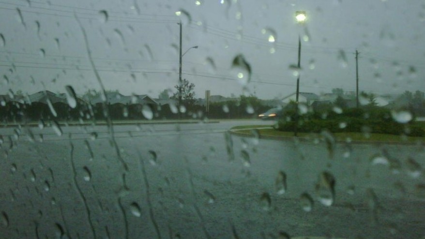
Wet and windy days ahead: Environment Canada issues special weather statement
A fall storm is developing over the American midwest and is expected join up with the remnants of hurricane Patricia as it heads our way this week, according to Environment Canada.
A few regions around the Lake Erie and Lake Ontario shorelines could see rainfall close to 50 millimeters within 24 hours. The rain will likely become heavy at times as the low pressure area deepens.
The beginning of the storm is expected to reach Southwestern Ontario tonight and then the rain will continue into Wednesday.
Along with the rain strong winds are expected in most areas with gusts up to 70 km/h.
The rainfall may be heavy at times, and a few thunderstorms may be heavy at times, especially on Wednesday afternoon and evening.
The storm will also bring strong and gusty southwesterly winds over Southwestern Ontario.
Environment Canada has issued a special weather statement for much of Ontario, including Toronto, calling for between 25-40 millimetres of rain for most areas on Wednesday.
Stronger winds are possible along the shores of Lakes Erie and Ontario where gusts may approach 90km/h.
The eastern side of Texas was deluged Saturday and Sunday with many areas receiving more than 300 millimetres of rain from Patricia’s enormous clouds.


