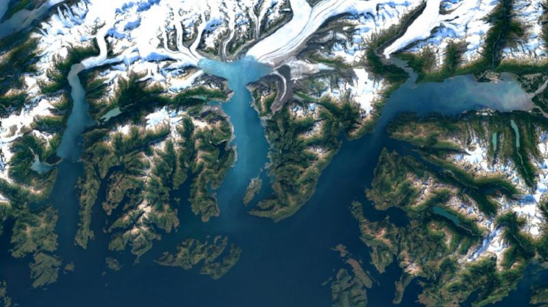
Google Earth Update Brings New Images And More
Landsat 8 was launched in 2013 and as of now, it is the latest to offer Google Earth with the newest imagery.
Anyone can now go to Google Maps or Google Earth to examine the enhanced satellite imagery.
“We mined data from almost a petabyte of Landsat imagery-that’s more than 700 trillion individual pixels-to choose the best cloud-free pixels”, Herwig wrote. According to the announcement made yesterday, users can now see more detailed images from Google Maps and Google earth, which the company used to update its cloud free mosaic of the planet. The Landsat 7 suffered a hardware failure back in 2003 and this was the reason why there is missing data in some portions of the world.
Google Maps and Earth’s satellite imagery was last updated in 2013.
Google Earth launched about a decade ago, and in addition to giving people a space-eye view of earth, it gives developers free 3D software. To check it out, users simply open up Google Earth or turn on the satellite layer in Google Maps.
The resolution upgrade was much needed after NASA’s Landsat 7 satellite malfunctioned and created diagonal gaps in images as a result of loss of data.
Landsat 8 was said to be capturing 725 scenes each day which is a step up compared to the Landsat 7’s 438-scene count daily, ZDNet reported. This leads to sharper and of course more updated and current images.
Combining the fresh images with new processing techniques has meant Google’s view of Earth has been refreshed and sharpened. This is this newest sensor in the United States Geological Survey (USGS) and NASA Landsat Program.
All of this processing-including the stitching together of the images from Landsat 8-actually takes place in Google’s publicly available Earth Engine. Take these images of New York City: everything is far sharper, showing things like building shadows and baseball fields in Central Park.


