NASA launches Mars Trek to explore the Red Planet in your browser
However, NASA just one-upped the search giant with a data-rich interactive map that lets you peek into every nook and cranny, from the miles-high volcanoes to the sperm-shaped valleys.
Essentially a Martian version of Google Earth, the app is the next best thing to actually visiting Mars yourself. If you want to do some virtual exploring of Mars on your own, NASA has a new Mars Trek website that you will want to check out.
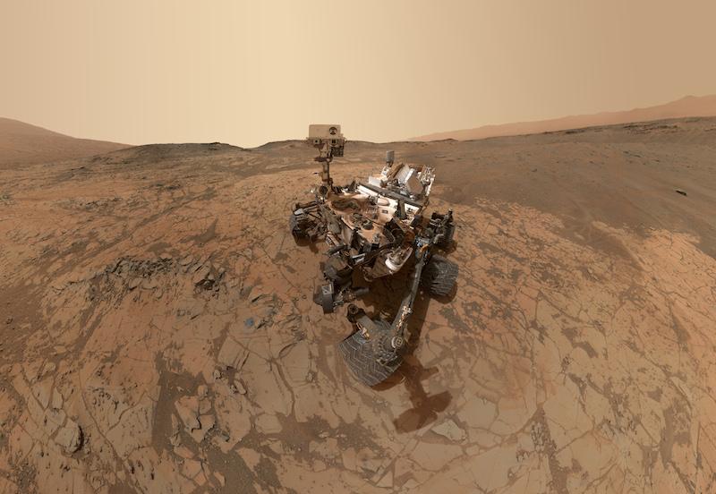
You may not be on the list of Mars One Project candidates who plan to make the red planet their future eternal home, but you can still visit it- virtually that is. Clicking on the names of labeled features brings up information such as the history of the area and how the feature was formed as well as the origins of the names chosen for Mars’ various locations. A “Bookmarks” tool highlights locations of historical significance, such as the landing sites of Mars rovers.
NBC News points out that the Mars Trek 3D view allows users to observe the Martian poles and rotate the planet.
The map scale can be adjusted from standard mile and kilometer readings to show non-standard units like school buses, soccer fields, or Golden Gate Bridges.The website also offer a layer function that lets you select a variety of map layers representing different orbital cameras, such as NASA’s Thermal Emission Spectrometer (TES).
You can even download STL files to 3D print models of those places.


